
A good toddler hike gives a child room to stop, look, and walk at their own pace. Around the Upstate and nearby western North Carolina, that can mean a paved greenway, a pond loop, a waterfall approach, or—once the family is ready—a mountain trail. The useful question is not simply “Is it easy?” It is how much work the route demands, what scenery it offers, and whether its footing suits your child. Our two-part trail ratings help separate those decisions.
Meet the Pumpkintown Effort & Wonder Ratings
Every rated route has two independent scores: Trail Effort and Scenic Reward. Both run from 1 to 5. A higher effort score means a harder walk; a higher reward score means more distinctive scenery. A quiet, convenient path can be an excellent family choice with a modest scenery score, while a dramatic waterfall can earn a top reward score without a long hike.
| Score | Trail Effort | Scenic Reward |
|---|---|---|
| 1 | Very easy: short, mostly level walking with straightforward footing. | Low-key: ordinary surroundings with few distinctive natural features. |
| 2 | Easy: a manageable walk with gentle grades, brief steeper sections, or occasional uneven footing. | Pleasant: an enjoyable natural setting with modest visual variety. |
| 3 | Moderate: sustained climbing, repeated rough footing, or enough distance to require a planned hiking outing. | Scenic: a clear natural highlight or varied scenery along the route. |
| 4 | Difficult: substantial climbing, length, or prolonged steep and rugged terrain. | Striking: a standout waterfall, landscape, or sequence of natural features. |
| 5 | Very difficult: exceptional demands from length, ascent, or sustained technical footing. | Spectacular: an exceptional focal scene or broad panorama that can anchor an outing. |
These are Pumpkintown’s editorial assessments of the named route, based on published terrain descriptions and scenic features, rather than official park ratings or claims of a new on-foot inspection. Effort uses the full described outing in ordinary dry conditions. Reward considers the route’s typical scenery, not a promised wildlife sighting, perfect sunset, or peak-season bloom. Neither score certifies safety, stroller access, or accessibility.
Read the family fit separately. “First walks” identifies a flexible starter outing or short viewing stop. “Building stamina” means a complete walking trail for children already comfortable on shorter outings. “Experienced families” means adults should be practiced at the terrain and at carrying or supervising their child. These are planning categories, not age cutoffs. No outing assumes that a toddler will walk every mile.
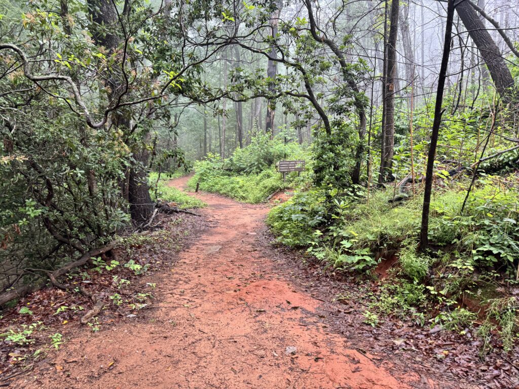
Compare the outings at a glance
All distances below describe the complete outing, including the return, except the two roadside stops, where no measured walking distance is claimed. The North Carolina routes are separate day-trip choices, not stops on one short loop from Pumpkintown. Read each route’s surface and access notes before choosing.
| Route | Total outing | Effort / 5 | Reward / 5 | Family fit |
|---|---|---|---|---|
| Doodle Trail: a short walk from Pickens (SC) | 1 mile total; turn around after 0.5 mile | 1 · Very easy | 2 · Pleasant | First walks |
| Wildcat Wayside: lower-waterfall stop only (SC) | Roadside stop; excludes the staircase and longer trail | 1 · Very easy | 3 · Scenic | First walks |
| Looking Glass Falls: upper roadside view (NC) | Roadside viewing stop; excludes the steps down | 1 · Very easy | 5 · Spectacular | First walks |
| Lake Placid Trail, Paris Mountain State Park (SC) | 0.75-mile loop | 2 · Easy | 3 · Scenic | Building stamina |
| Nature Trail / Pond Loop, Oconee Station (SC) | 1-mile loop | 2 · Easy | 3 · Scenic | Building stamina |
| Station Cove Falls from the roadside trailhead (SC) | 1 mile out and back | 2 · Easy | 4 · Striking | Building stamina |
| Lakeside Trail, Table Rock State Park (SC) | 1.9-mile loop | 2 · Easy | 4 · Striking | Building stamina |
| Oconee Bell Nature Trail, Devils Fork State Park (SC) | 1.5-mile loop | 2 · Easy | 3 · Scenic | Building stamina |
| Moore Cove Falls, Pisgah National Forest (NC) | 1.4 miles out and back | 2 · Easy | 4 · Striking | Building stamina |
| Carrick Creek Trail, Table Rock State Park (SC) | 2-mile loop; temporary access may alter your walked distance | 3 · Moderate | 4 · Striking | Experienced families |
| Bearwallow Mountain summit trail (NC) | 2 miles out and back on the hiking trail | 3 · Moderate | 5 · Spectacular | Experienced families |
| Craggy Pinnacle summit trail (NC) | 1.4 miles out and back | 3 · Moderate | 5 · Spectacular | Experienced families |
First walks and waterfall stops
Start here when a short outing and a straightforward return matter more than finishing a named trail. The two waterfall stops offer scenery without a full hike, but the road and water still require close supervision.
Doodle Trail: a short walk from Pickens · SC
Trail Effort 1/5 · Very easy
Scenic Reward 2/5 · Pleasant
1 mile total; turn around after 0.5 mile · First walks
Start at Pickens Doodle Park and make the turnaround part of your plan: walk half a mile, then return the same way. This is a suggested family outing, not the full Doodle Trail or a newly named official loop. The city lists the Pickens trailhead at 409 E. Cedar Rock Street, with a playground and restrooms at the park. Share the path with cyclists and keep children beside you at crossings.
Surface and stroller plan: Paved; stroller-friendly.
Why these scores: A deliberately short paved outing earns Very easy for effort. Pleasant reflects a greenway walk rather than a waterfall or mountain panorama.
City trailhead information; our Pickens Doodle Park guide.
Wildcat Wayside: lower-waterfall stop only · SC
Trail Effort 1/5 · Very easy
Scenic Reward 3/5 · Scenic
Roadside stop; excludes the staircase and longer trail · First walks
This is a waterfall stop rather than a hike, useful when a child wants to see moving water before committing to a longer outing. The stairway beside the lower falls is steep and belongs to a different route. SC Trails lists the full walk at 0.8 miles round trip and notes an upper-falls trail closure. Stay in open areas, keep children off wet rocks, and pay close attention to the roadside parking area.
Surface and stroller plan: Short approach beside roadside parking; carry or closely guide a small child.
Why these scores: Very easy applies only to reaching the lower view without climbing the stairs. Scenic recognizes a waterfall stop with a small walking commitment, not the full trail above it.
Official trail description; our Wildcat Wayside guide.
Looking Glass Falls: upper roadside view · NC
Trail Effort 1/5 · Very easy
Scenic Reward 5/5 · Spectacular
Roadside viewing stop; excludes the steps down · First walks
The 60-foot waterfall is visible from U.S. 276 in Pisgah National Forest. Use the upper paved walkway for this outing; descending toward the water changes both the effort and the supervision required. Park only in designated spaces on the falls side of the road. A street-level view lets the waterfall itself be the destination without turning the visit into an attempt to reach its pool.
Surface and stroller plan: Paved street-level viewing walkway; lower stairs are outside this rating.
Why these scores: Very easy describes the upper-view walk. We rated it Spectacular because it features a substantial, immediately visible waterfall, showing that a high scenery score doesn’t require a climb.
NPS visitor information; Forest Service site information.
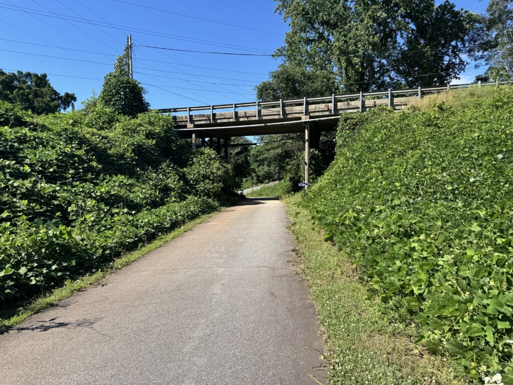
Walking trails for children building stamina
These routes bring a clearer sense of being in the woods, with a full loop or an out-and-back destination. For a new walker, try a short section first and turn around while the return still feels manageable. The complete-route rating does not change just because your family chooses a shorter visit.
Lake Placid Trail, Paris Mountain State Park · SC
Trail Effort 2/5 · Easy
Scenic Reward 3/5 · Scenic
0.75-mile loop · Building stamina
Lake Placid makes a compact introduction to walking a complete trail. The park describes most of the loop as level but specifically identifies a steep descent and ascent below the dam. That detail matters more to a small walker than the three-quarter-mile distance suggests. Choose the full circuit when your child is comfortable with uneven footing and short climbs; a shorter lakeside visit remains a useful alternative.
Surface and stroller plan: Walking trail with a boardwalk bridge and slopes below the dam; choose a carrier over a stroller for the full loop.
Why these scores: Easy allows for brief steeper sections on an otherwise short outing. Scenic reflects the lake, woodland, and changing shoreline perspectives.
Park trail description; park rating: Easy; our Paris Mountain visitor guide.
Nature Trail / Pond Loop, Oconee Station · SC
Trail Effort 2/5 · Easy
Scenic Reward 3/5 · Scenic
1-mile loop · Building stamina
From the historic site’s main parking area, the trail descends and splits into two sides of a pond loop. This gives a family a clear destination without adding the walk to Station Cove Falls. Keep the two outings separate when planning a toddler’s distance. The pond and surrounding woods are the main attraction; spring wildflowers add seasonal interest but aren’t required for a worthwhile visit.
Surface and stroller plan: Woodland walking trail with a downhill approach and return climb; plan on walking or a carrier.
Why these scores: Easy recognizes a short forest circuit with some grade. Scenic reflects the pond setting and woodland rather than a distant mountain view.
Park trail description; park rating: Easy.
Station Cove Falls from the roadside trailhead · SC
Trail Effort 2/5 · Easy
Scenic Reward 4/5 · Striking
1 mile out and back · Building stamina
Use the roadside trailhead on Oconee Station Road for this distance. SC Trails lists the walk at 0.5 miles one way to a 60-foot stepped waterfall. Starting at Oconee Station State Historic Site makes a different, longer outing, so check the actual starting point before comparing mileages. Stay on the established approach and enjoy the falls from the viewing area rather than letting a toddler scramble on wet rocks.
Surface and stroller plan: Natural-surface forest trail; use walking shoes or a carrier, not a stroller plan.
Why these scores: Easy reflects the short, gently graded approach. Striking recognizes the stepped waterfall and enclosed cove-forest setting.
Official roadside-route description.
Lakeside Trail, Table Rock State Park · SC
Trail Effort 2/5 · Easy
Scenic Reward 4/5 · Striking
1.9-mile loop · Building stamina
This is the best choice for enjoying Table Rock’s setting without climbing a mountain. The full circuit includes a descent below the spillway and a connection through the day-use parking area, so it is not a continuously level shoreline path. Choose a short out-and-back instead if the full loop exceeds your child’s comfortable distance. The scores here apply to the complete 1.9-mile route.
Surface and stroller plan: Walking trail with a drop below the spillway; the loop also uses a day-use parking-area connection. Not a stroller recommendation.
Why these scores: Easy reflects the park’s gentler lake circuit, though its length matters for toddlers. Striking reflects the combination of Pinnacle Lake and views of Table Rock.
Park route description; park rating: Easy; our Table Rock trail guide.
Oconee Bell Nature Trail, Devils Fork State Park · SC
Trail Effort 2/5 · Easy
Scenic Reward 3/5 · Scenic
1.5-mile loop · Building stamina
Follow the white blazes from the parking area behind the ranger station. The park’s dedicated trail page lists a 1.5-mile loop through hardwood forest, beside a creek and a small pond. Oconee bells bloom in early spring, but the trail is a woodland walk in other seasons too. Leave plants undisturbed and use the benches for breaks rather than making completion the only goal.
Surface and stroller plan: Forest walking trail; plan to walk or use a carrier rather than depend on stroller access.
Why these scores: Easy reflects a shorter forest outing without a summit climb. Scenic recognizes the creek-and-pond setting; the score does not depend on catching the flowers in bloom.
Park route description; our guide to Devils Fork’s family activities.
Moore Cove Falls, Pisgah National Forest · NC
Trail Effort 2/5 · Easy
Scenic Reward 4/5 · Striking
1.4 miles out and back · Building stamina
The published 0.7-mile trail distance is one way; allow for the return when choosing this hike. The yellow-blazed route reaches a waterfall viewing platform. Keep the outing on the maintained trail and platform instead of extending it behind the falls or onto slippery rocks. This makes a great hiking destination for a Brevard-area day, with a roadside waterfall stop as an optional extra rather than another required walk.
Surface and stroller plan: Forest path with a climb and stream bridges; choose walking or a carrier, not a stroller.
Why these scores: Easy allows for a short initial climb and natural footing. Striking reflects the waterfall dropping from an overhanging rock face at the end of the walk.
NPS trail and viewing information; Forest Service trail information.
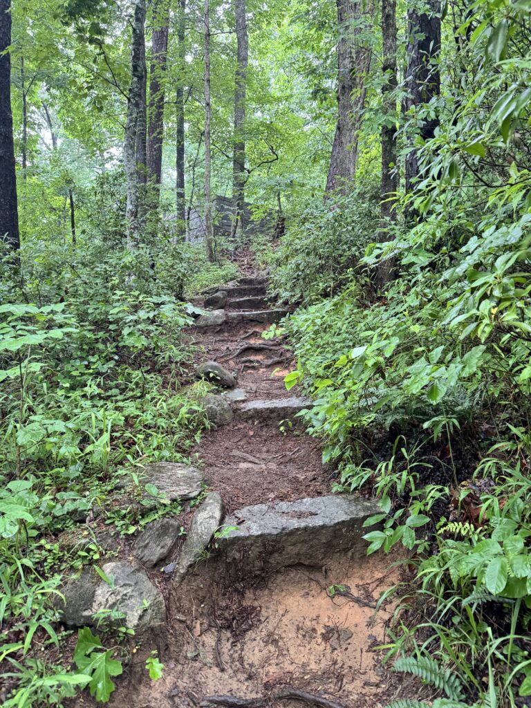
Next-step outings for experienced families
These are moderate hikes included for families ready to move beyond first walks. They are not the default recommendation for a toddler’s first trail. Consider how the adults will handle the whole return with a tired child before choosing a summit or a longer climb.
Carrick Creek Trail, Table Rock State Park · SC
Trail Effort 3/5 · Moderate
Scenic Reward 4/5 · Striking
2-mile loop; temporary access may alter your walked distance · Experienced families
Carrick Creek belongs in the next-step category, not alongside a level first walk. The park rates the full loop moderate. Choose it when adults already know their child’s walking limits and can manage the return. During the trailhead project, follow the signed temporary access and registration instructions.
Surface and stroller plan: Natural mountain trail with climbing; carry only if comfortable with the terrain and the loaded carrier.
Why these scores: Moderate reflects a real mountain-trail climb rather than just the two-mile length. Striking reflects repeated creek and cascade scenery through the forest.
Park route description; park rating: Moderate; our Carrick Creek guide.
Bearwallow Mountain summit trail · NC
Trail Effort 3/5 · Moderate
Scenic Reward 5/5 · Spectacular
2 miles out and back on the hiking trail · Experienced families
Conserving Carolina lists the summit hike at one mile each way and rates it moderate. The open grassy summit offers wide views, but it is also part of a working farm on privately owned land with public hiking access. Stay in designated areas and leave livestock alone. This outing is for adults comfortable managing both a climb and a child, not a test of how far a new walker can be persuaded to go.
Surface and stroller plan: Uphill hiking trail; not stroller-friendly. This rating excludes the alternative gravel-road return.
Why these scores: Moderate reflects a sustained climb to the summit. Spectacular reflects the broad meadow and nearly all-around mountain panorama in clear weather.
Land manager’s route, access notice, and directions.
Craggy Pinnacle summit trail · NC
Trail Effort 3/5 · Moderate
Scenic Reward 5/5 · Spectacular
1.4 miles out and back · Experienced families
Begin at Craggy Dome Parking Overlook, not the Craggy Gardens visitor-center trailhead. NPS lists the summit trail at 0.7 miles one way and moderate difficulty. Keep children close on the approach and stay inside the summit rock wall. This is a separate Asheville-area mountain outing that requires more demanding supervision than a pond loop. Fog can hide the panorama even when the trail is open.
Surface and stroller plan: Uphill natural trail to a summit overlook; walking or a secure carrier, not a stroller.
Why these scores: Moderate reflects the climb and uneven summit approach. Spectacular reflects the panoramic summit view when visibility allows.
NPS distance and difficulty table; Craggy Trail descriptions and status map.
Access details to check before leaving home
Checked October 19, 2026. At Table Rock, construction has closed the Nature Center and its trailhead restrooms. Follow signs to the Concessions Area for registration, restrooms, and temporary trail access. Read the park’s current advisory and our trailhead construction guide before a Carrick Creek outing. Lakeside is a separate route; its registration card is not required.
For Bearwallow, Conserving Carolina reports the trail open but restricts access through Gerton because Hurricane Helene damaged the road. Follow the land manager’s access notice and directions rather than accepting a navigation app’s route through Gerton. For Craggy Pinnacle, check the Blue Ridge Parkway road-status page as well as the trail-status map. An open summit trail does not mean every nearby trail or picnic facility is open.
State-park admission, operating hours, and parking restrictions vary by destination. Use the official links in each entry for your travel date. If your family visits several parks, our South Carolina Park Passport guide explains the pass options. A pass does not guarantee an available parking space.
When you want a flexible nature visit instead
A preserve or garden can work well when you want to decide the distance as you go. At Conestee Nature Preserve, use the official route descriptions to distinguish the hard-surface Yellow Route around West Bay from natural-surface options. The preserve has multiple entrances and routes; choose the route and starting point first. We do not assign one effort score to the whole property. Swimming, boating, and fishing are prohibited there.
If the main goal is family time around Table Rock rather than another trail, our family experiences guide offers other ways to shape the day. Around Brevard, the white squirrel guide adds a town-based option without promising a sighting. Keep a second outing optional so a successful short walk can remain the day’s achievement.
Plan for the return, the weather, and the child
Choose a turnaround point before setting off, carry drinking water and a snack, and bring the supplies your child normally needs. Leave room for pauses and for carrying on the return. A stroller plan should begin with a verified paved route, not with an “easy” label. On a natural trail, use a carrier that fits the child and is comfortable for the adult, and shorten the outing if the load makes footing uncertain.
At waterfalls, stay on the maintained approach and away from wet rock and the stream above a drop, following NPS waterfall-safety guidance. If thunder is audible, seek a substantial building or enclosed metal-topped vehicle; National Weather Service guidance calls for waiting at least 30 minutes after the last thunder before leaving safe shelter. Read why rock overhangs and picnic shelters are not safe thunderstorm shelters before relying on either along a trail.
For a trail emergency, call 911 and give the dispatcher your route, location, and the number of people needing help. Our Table Rock emergency guide helps you prepare that information. For the ordinary pauses that make up a family walk, bring our printable hiking games and let looking for a leaf or listening for a bird be part of the outing.
Questions families ask
Does a 1/5 effort score mean a trail is safe for every toddler?
No. Effort describes the walking demands. A roadside waterfall can require almost no walking and still have traffic, slippery surfaces, and water hazards. Use the surface, family-fit, and access notes to decide whether the outing suits your child.
Why does an easy outing sometimes have a higher scenery score than a harder hike?
The two scores measure different things. Looking Glass Falls’ upper roadside view receives 1/5 for effort and 5/5 for scenery. Carrick Creek’s full loop gets 3/5 for effort and 4/5 for scenery. A harder walk does not automatically earn a better view.
Which is the simplest stroller choice here?
The suggested one-mile paved Doodle Trail outing is the clearest stroller choice in this selection. Check current conditions and crossings, and share the path with cyclists. The mountain-trail ratings do not establish stroller or wheelchair access.
Route facts and access notices were checked against the linked official sources on October 19, 2026. Pumpkintown’s ratings are editorial judgments for the specific outings described. Follow current land-manager instructions and posted closures when you arrive.


